
Cadastral lifting-certified Cadastral lifting services in Riyadh | Abak engineering office
Engineering Creativity and Sustainable Safety
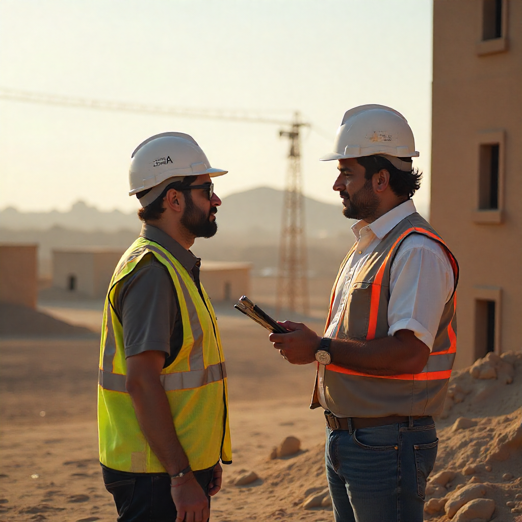
Cadastral lifting-comprehensive guide to the cadastral lifting service and its importance in real estate and engineering projects (with the services of Abak office)
Cadastral lifting is an essential step in any engineering or real estate project, it is the basis on which everything is built later from Plans, Designs and obtaining building permits. With the expansion of urban projects in Saudi Arabia, the need for reliable engineering offices specializing in Cadastral lifting has become an absolute necessity.
Abak engineering consultancy stands out as one of the leading offices providing accurate and certified surveying lifting services in Riyadh, with providing comprehensive engineering reports that meet government requirements and ensure the highest accuracy.
In this comprehensive guide, you will learn about the concept of cadastral lifting, its types, importance, implementation steps, devices used, as well as the role of your father's office in providing this service with high efficiency.
Quick points about Cadastral lifting
Cadastral lifting is the accurate determination of the boundaries of the land, its area and coordinates.
It is a prerequisite for obtaining building permits and updating sukuk data.
Your father's office provides accurate spatial lifting according to approved standards.
It is carried out using modern devices such as GPS, the Total Station and drones.
The service protects against conflicts and reveals space differences.
It is necessary before buying and selling, and during construction, and when drawing up schemes.
What is Cadastral lifting
Cadastral lifting is an engineering process to accurately measure the Earth by determining:
Limits of its ownership
Its natural and industrial features
Elevations and attribution
Coordinates and reference points
This is done using advanced Cadastral techniques, and then the measurements are converted into an official Cadastral plan that can be submitted to government agencies or used in engineering design.
The APAC office offers a certified Cadastral lifting service that complies with the requirements of secretariats and municipalities, which makes it a reliable option for landowners and real estate developers.
The importance of cadastral lifting in engineering projects
Cadastral lifting is of great importance, and its most prominent benefits include:
1. Ensuring the correctness of the land area
Cadastral lifting helps to determine the exact area, which prevents errors during the sale or purchase of land.
2. Determination of official boundaries
Documents property boundaries and prevents disputes with neighbors.
The APAC office service is based on certified points to ensure accuracy.
3. Obtaining building permits
Municipalities in Saudi Arabia require an up-to-date Cadastral lifting scheme, and this is provided by your father's office.
4. Design of engineering schemes
Architects and constructors rely on the cadastral lifting scheme in determining the locations of structural elements.
5. Reduce operational risk
Correct lifting prevents construction problems such as:
Exceeding the neighbor's limits
Implementation of foundations in the wrong locations
Differences in attribution affect the quality of the building
Types of cadastral lifting (with Apak office services)
1. Cadastral land elevation
The APAC office offers a comprehensive Cadastral lift to accurately determine the dimensions of the territory.
2. Topographic lifting
With the aim of studying the attribution and terrain, it is used in large projects.
3. Spatial elevation of existing buildings
To prepare "As-Built" schemes and update the property data.
4. Spatial lifting using GPS
Suitable for large spaces, and your father's office uses it very efficiently.
5. Dron aerial lift
An ideal solution for farms and wide plots, saving time and raising accuracy.
Cadastral lifting steps (as applied by your father's office)
1. Visit the site and preview the land
The APAC team visits the site and determines the appropriate measurement points.
2. Installing control points
Identification of approved points that are referenced during measurement to ensure high accuracy.
3. Collecting measurements
Using Total Station and GPS devices, all coordinates are collected.
4. Record highs and lows
This is very important for projects that need careful structural design.
5. Data processing and chart release
Data is processed in engineering programs such as AutoCAD and civil3d.
6. Delivery of an approved Cadastral lifting scheme
Includes:
Land area
Its boundaries
Its location relative to the roads
Coordinates
Elevations
It is stamped and approved by your father's office.
Devices used in Cadastral lifting
Total Station
The most accurate in measuring distances and angles.
GPS
It gives very accurate coordinates within a short time.
Level
To measure levels and heights.
Laser devices
For internal works.
Drones
For large projects and large-area sites.
When do you need a cadastral lift
Before buying a land to make sure of its actual area.
Before selling land to issue an official scheme.
Before obtaining a building permit.
When there are border disputes.
When preparing a new engineering scheme.
When carrying out the structural structure.
To update the data of old instruments.
The role of your father's office in Cadastral lifting services
The APAC office offers certified Cadastral lifting services that include:
1. Comprehensive Cadastral land elevation
For residential, commercial, and agricultural sites.
2. Cadastral lifting of building permits
According to the requirements of the secretariats and municipalities.
3. Spatial elevation of existing buildings
Necessary for updating schemes or restoration.
4. Topographic lifting for large projects
To determine the attribution and terrain.
5. Documentation of coordinates with high accuracy
Using modern devices guarantees accurate results.
6. Preparation of approved schemes
And delivered within a comprehensive file to the owner, contractor or government entity.
Advantages of cadastral lifting from your father's office
High accuracy of measurements
Clear and easy-to-understand reports
Speed of achievement
Official accreditation
Suitable prices
Extensive experience in Riyadh projects
Frequently asked questions (FAQ)
1. How much does Cadastral lifting cost
They vary by land area and type of Service
2. Does your father's office provide a certified Cadastral lift
Yes, the office provides an approved and acceptable spatial lift to government agencies.
3. How long does it take to carry out Cadastral lifting
From one to three days, depending on the size of the site.
4. Is it possible to perform a cadastral lifting of an existing building
Yes, and for this special devices are used both inside and outside.
5. Is Cadastral lifting a condition for obtaining a building permit
Yes, and it is one of the most important requirements in municipalities.
6. Does your father's office offer a spatial upgrade for projects outside Riyadh
Yes, the office provides services inside and outside Riyadh on request.
Thank you for taking the time to read this article.
If you enjoyed the article, feel free to share it or keep exploring more.