

Spatial Map Update
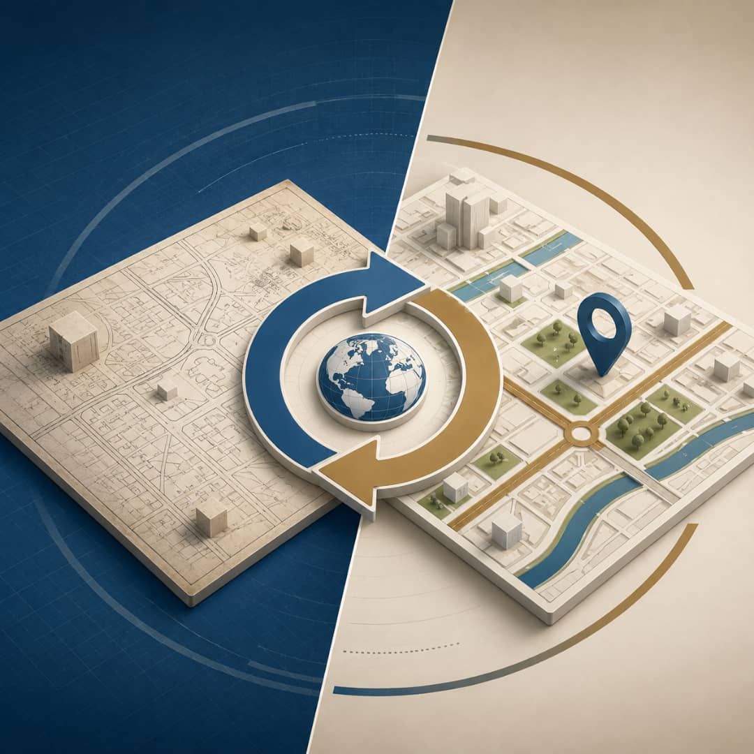
We update the property's spatial map so it reflects actual site conditions — boundaries, coordinates and area — matching the municipality's records.
- Professional Engineering Team
- Fast Service
- High Quality
- Trusted Engineering Solutions
What is this service?
Updating a property's spatial map (its geographic record) with the municipality so it reflects actual conditions on the ground in terms of boundaries, coordinates and area. The work is carried out through a precise field survey, reconciliation of the data against the official records and an update request filed on the Balady platform — correcting any discrepancy between reality and the record and clearing the way for subsequent property transactions.
Why do you need this service?
Aligns the property's geographic record with actual site conditions.
Corrects any discrepancy between the ground and the municipality's records.
A prerequisite for certain transactions — deed update, subdivision, permit.
Precise spatial documentation that protects the owner's rights.
Service Preparation Steps
Field survey
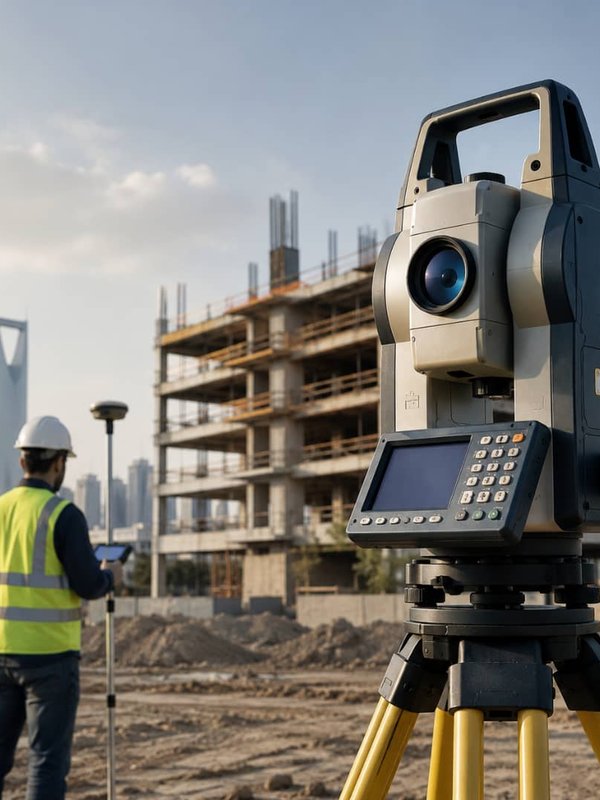
Actual conditions and their coordinates are surveyed.
Reconciliation
The data is reconciled against the municipality's spatial map.
Application
The spatial map update request is filed on Balady.
Follow-up
We track comments and align the file with the requirements.
Approval
The spatial map update is approved.
What does the service include?
Approved Standards & Codes
Frequently Asked Questions About This Service
How do I discover the spatial map is wrong?
Usually when a transaction stalls: a permit, subdivision or deed update is refused because the location, boundaries or area recorded with the municipality differ from what is on the ground.
What normally causes the discrepancy?
Outdated recorded data, errors in older coordinates, or changes to the approved subdivision plan for the area. A precise field survey pins down the difference and documents it for the authority.
Does the update affect the title deed?
Updating the spatial map corrects the data held by the municipality, and that may in turn call for a deed update with the Ministry of Justice if the difference touches the area or boundaries recorded in it.
Why Choose abak?
We combine deep engineering expertise with high quality standards to deliver solutions you can trust.
Experienced Engineers
A team of certified consultants and engineers with long experience in the Saudi market.
High Quality Standards
Strict adherence to the Saudi Building Code and international engineering best practices.
Modern Engineering Solutions
We use the latest tools and technologies to deliver precise, efficient designs.
Professional Consultation
We listen to your needs and design the right solution for your project and budget.
Fast, Reliable Delivery
We commit to timelines and deliver our projects on schedule.
How We Work With You
Clear steps from first contact to final delivery.
- 1
Contact Us
Reach us on WhatsApp or by phone and share your project details.
- 2
Requirement Analysis
We study your needs and set a clear, suitable engineering plan.
- 3
Engineering Execution
Our team executes the work precisely to the highest standards.
- 4
Final Delivery
We hand over complete deliverables with post-delivery support.
Related Services
Discover other services that may interest you


Ready to Start Your Project?
Reach our team now on WhatsApp and get a consultation tailored to your service.