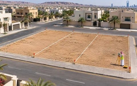
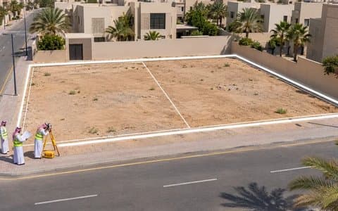
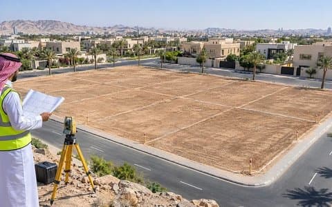
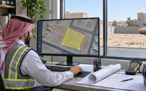
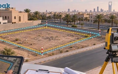
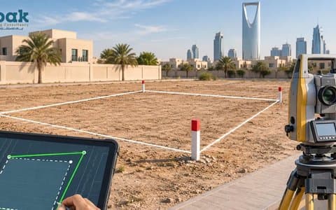
The survey decision is the first document the office selects when starting a building permit on Balady. Any error in it carries through to everything that follows. These are the most common survey report errors.
Land subdivision means dividing one plot into independent plots with their own deeds. On Balady it is done through the "Create a Land Merging and Subdivision Request" service, an online service for merging and subdividing residential land within an approved plan without visiting the authority.
Own two adjacent plots? Merging them into one deed can give you a better design and one larger building instead of two small ones. On Balady, merging is done through the "Create a Land Merging and Subdivision Request" service for residential land within an approved plan.
A large plot may sell for more if divided into smaller plots that are in demand. But dividing land to sell as plots is not done through sale contracts for undefined portions; it is done through an official subdivision that produces independent deeds.
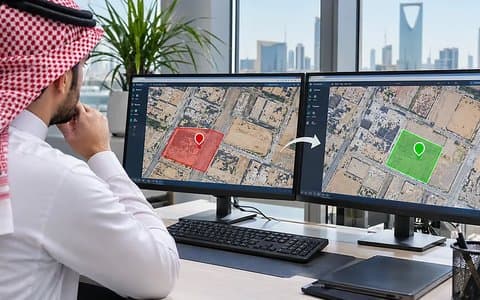
As real estate transactions go digital, a property's location in government systems has become as important as the deed itself. If a property's spatial data is inaccurate, permits, deed updates or a sale can stall.
You try to issue a permit or update a deed, and find the property in the systems at a different location or with boundaries that do not match reality. This is a common problem with older properties, and it has a methodical fix.
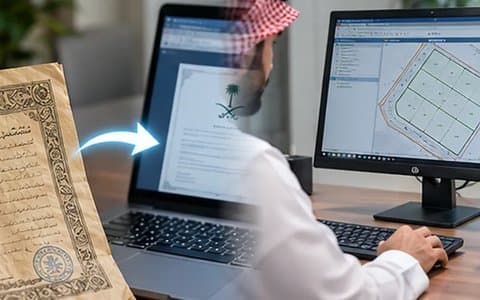
In today's digital system, a property has two faces: the deed that proves ownership, and the spatial data that sets its location and boundaries. When they match, transactions run smoothly.
You buy land whose deed says 500 square metres, and the survey shows 480 or 520. A difference between the deed area and reality is a common problem, and it usually surfaces at the permit or sale stage.
Many Balady services require an updated electronic deed from the Ministry of Justice, such as the building permit and the land merging and subdivision service. If your deed is an old paper one, the first step is updating the deed.
The deed describes the property's boundaries and dimensions with neighbours and streets. If that description differs from reality, you need to amend the deed's boundaries and dimensions.
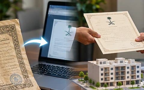
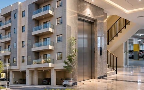
Real estate unit sorting is a service of the Real Estate General Authority (REGA), which describes it as dividing buildings and real estate complexes into independent units, setting each unit's share of the land and common areas, and then issuing a separate deed for each unit.
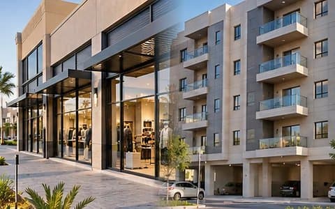
The Real Estate General Authority (REGA) states that its sorting service covers commercial, residential and mixed-use properties. This means shops and offices in eligible buildings can obtain separate deeds, opening up sale and financing options for owners and developers.